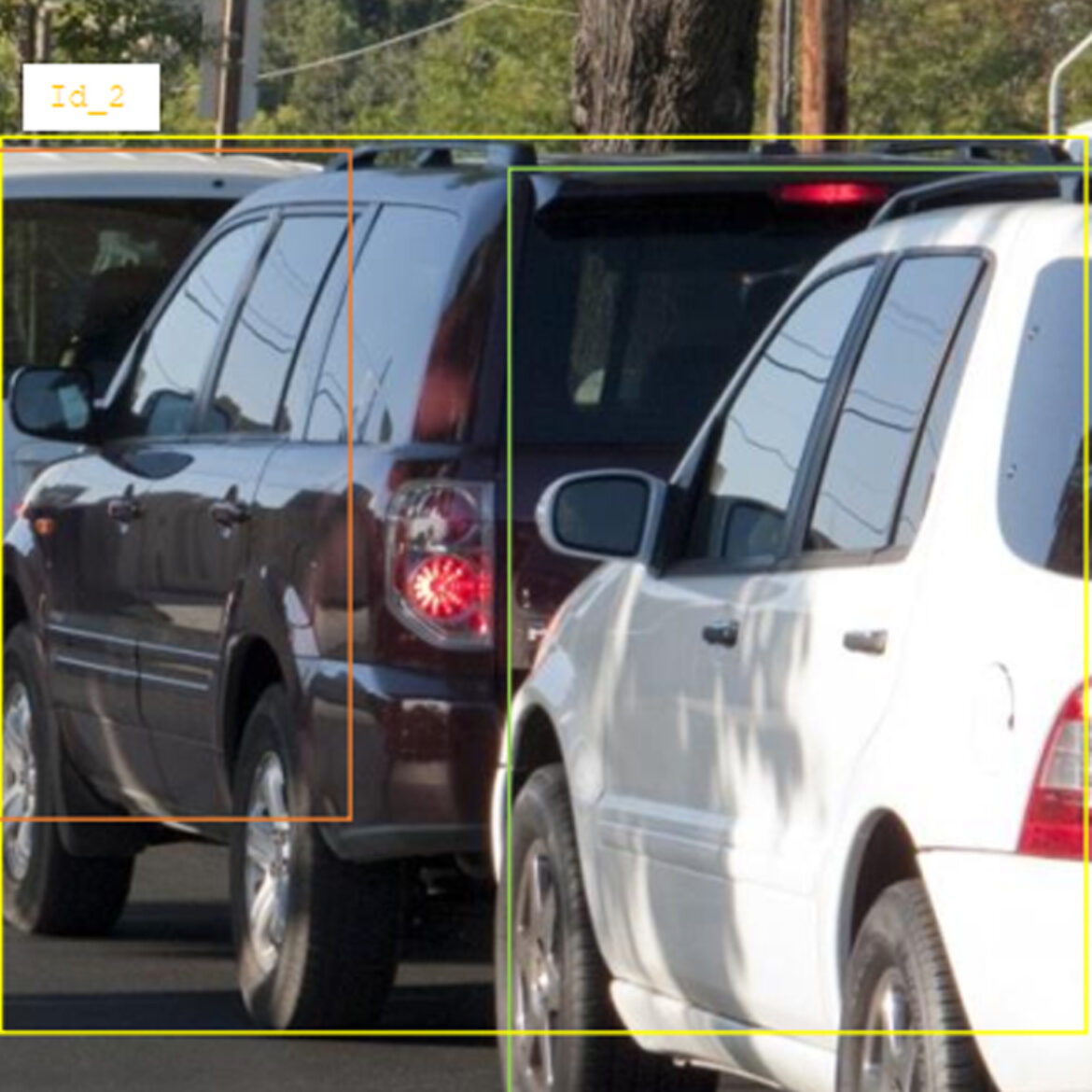
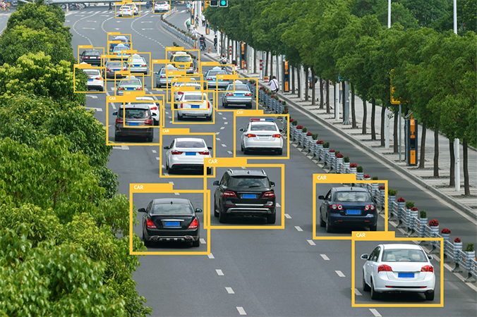
 Bounding box annotation is one of the most widely used techniques in computer vision. It defines the X and Y coordinates of an object in a 2D space, making it ideal for object detection and classification tasks in real-time applications such as ADAS and smart surveillance systems. This method is fast to draw, well-suited for large-scale datasets, and highly efficient for models requiring quick object localization. While it may sometimes include a bit of background noise around the object, it remains a reliable and scalable approach for most visual recognition tasks.
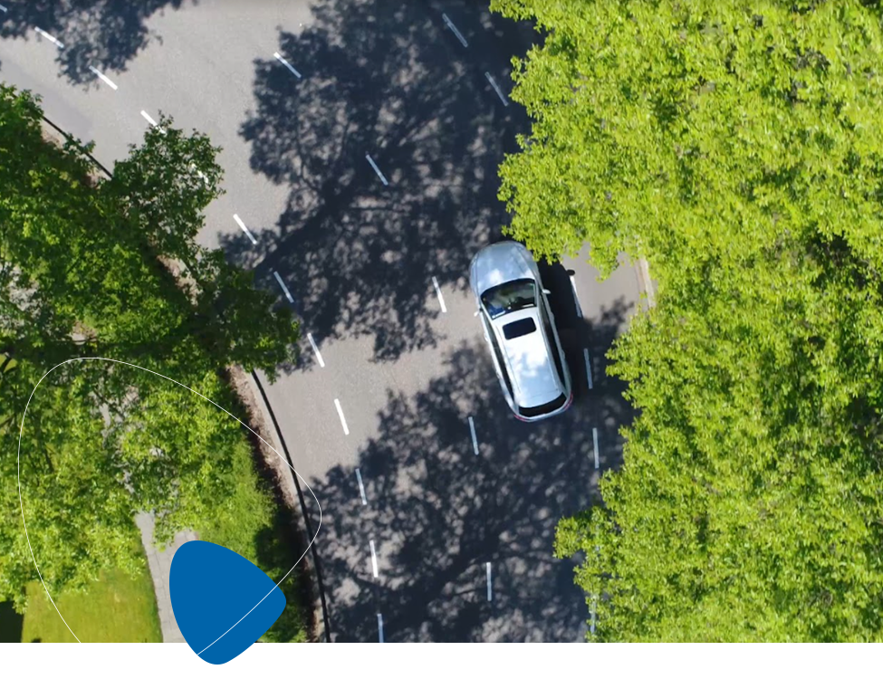
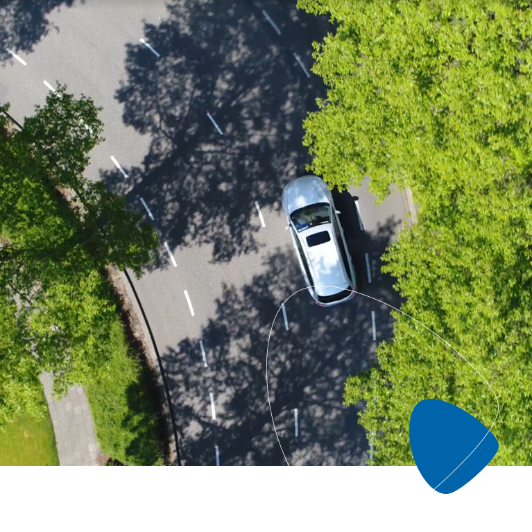
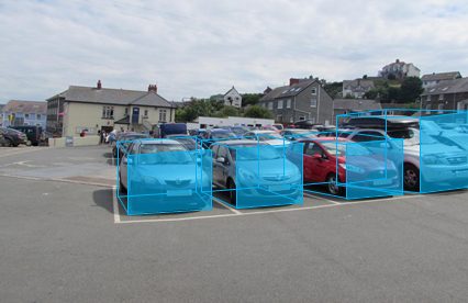 Cuboid annotation adds a third dimension to traditional image labeling by capturing the depth, orientation, and volume of an object. This 3D representation allows AI systems to better interpret spatial relationships within an environment. It is especially valuable for estimating distances between objects and plays a key role in applications like obstacle detection, autonomous navigation, and advanced robotics where understanding depth and positioning is critical.
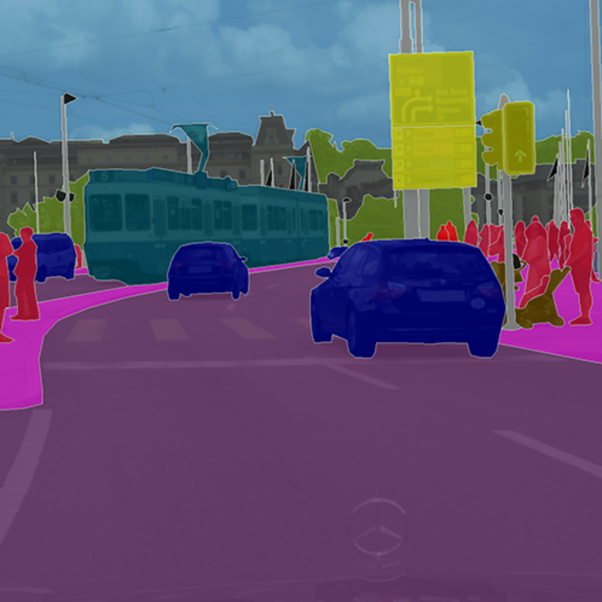
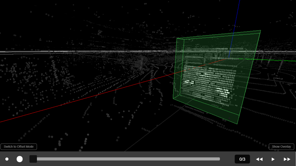 Point cloud annotation is essential for interpreting complex 3D data captured by LiDAR sensors, whether mounted on self-driving cars, drones, or satellites. This technique enables real-time understanding of three-dimensional environments by mapping millions of spatial points into recognizable forms. It requires specialized tools and deep expertise, often supported by human-in-the-loop validation, to ensure precise segmentation and accurate scene interpretation—making it a powerful foundation for autonomous navigation and smart mapping technologies.


« The collaboration with Ingedata allowed XXII Group to reach a high level of attractivity towards data scientists, since we are now able to provide them with abundant annotated data. These annotations are delivered by Ingedata through our dedicated team of 20 annotators working hand in hand with our team. Considering the very tight market conditions on the data scientists market, this is a considerable business result for us to grow fast. »
William Eldin CEO @XXII GroupIngedata’s key differentiator is our ability to extract highly accurate information.
We have the largest photo interpretation team in Africa, with over 100 photo interpreters working on Earth observation projects.
We even work for the French and the US Departments of Defense, which demonstrates our ability to fit into projects with high confidentiality requirements.
By offering a high-precision geospatial imagery service, our team of experts provides accurate information to our clients, which gives them a recognized competitive advantage.